
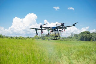
Aerial Spraying
Introducing our premier Aerial Spraying service for cropping and weed control. Utilizing top-of-the-line spray drones, we offer precise and efficient solutions for areas ranging from 10 to 1000ha. Experience the remarkable accuracy and superior performance of our UAV spraying, tailored for projects of all sizes
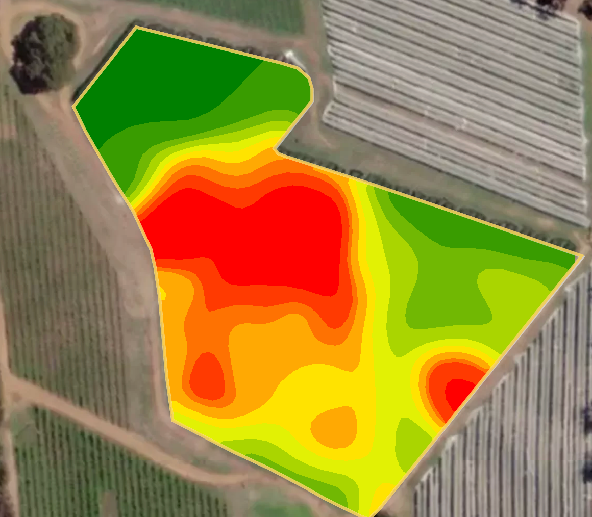
Precision Agriculture: NDVI Mapping
Embrace data-driven agriculture with our NDVI Mapping service. Using advanced drone technology, we provide detailed Normalized Difference Vegetation Index (NDVI) maps that offer critical insights into crop health and productivity. Transform your land management practices with precise, real-time, actionable data.
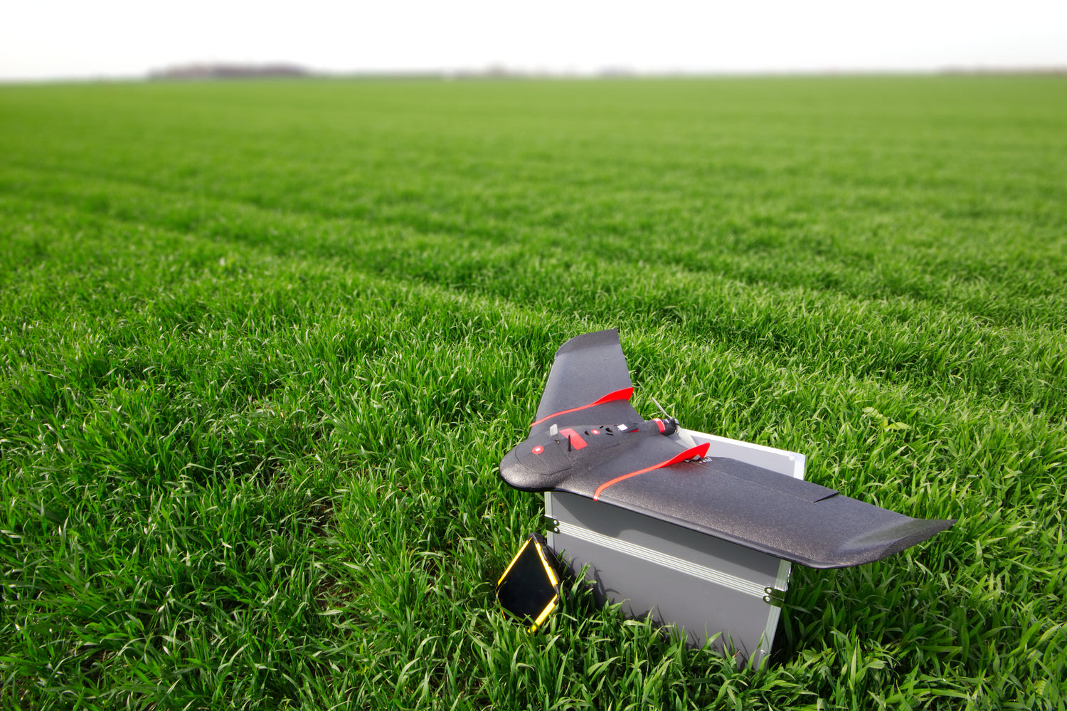
Comprehensive Terrain Insights: LiDAR, Orthographic Mapping, Contour Mapping.
Embrace the power of advanced geospatial data with our comprehensive Aerial LiDAR service. We provide high-resolution Aerial Orthographic, Precision Contour, and Digital Surface Model (DSM) mapping, offering unprecedented insights into your terrain's characteristics. Alongside this, our drone inspections provide a detailed view of your property from a unique perspective. Optimize land use planning, infrastructure development, and risk assessment with our robust, detailed, and precise mapping services.