Broadacre Gamma & EMI Mapping from $14/ha | Precision Orchard Scanning from $120/ha
From Soil to Canopy: World-class sensor mapping built for commercial growers and agronomic advisors
Aero Vines integrates advanced soil sensing, orchard mapping, and viticulture analytics to deliver paddock-ready insights. Backed by world-class international partners and local field expertise, we help growers and advisors optimise input efficiency and crop performance
-
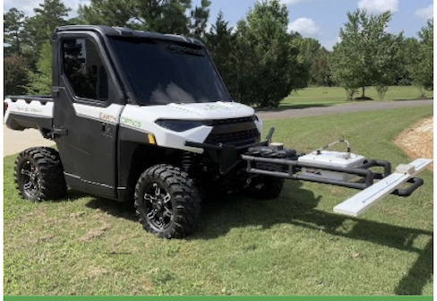
Complete Soil Intelligences
Soil servicesFrom Topsoil to Subsoil We combine our advanced passive gamma and EMI sensors with EarthOptics technology to deliver unmatched soil clarity. By layering surface mapping with precision cores from 0–1.6m, we capture compaction, carbon, and moisture dynamics transforming complex data into paddock-ready variable-rate maps
-

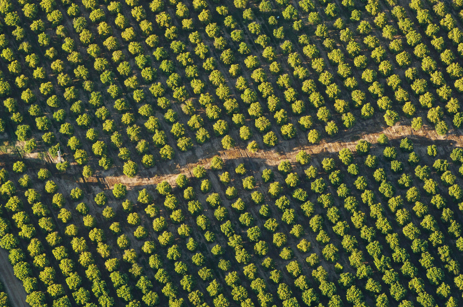
Precision Crop Load Management
Green AtlasDelivering high-speed Green Atlas mapping across WA and SA.We track flower density, fruit counts, and 3D canopy geometry at ground level giving you the exact tree-by-tree data needed to optimise thinning, forecast yield, and manage crop load with total confidence.
-
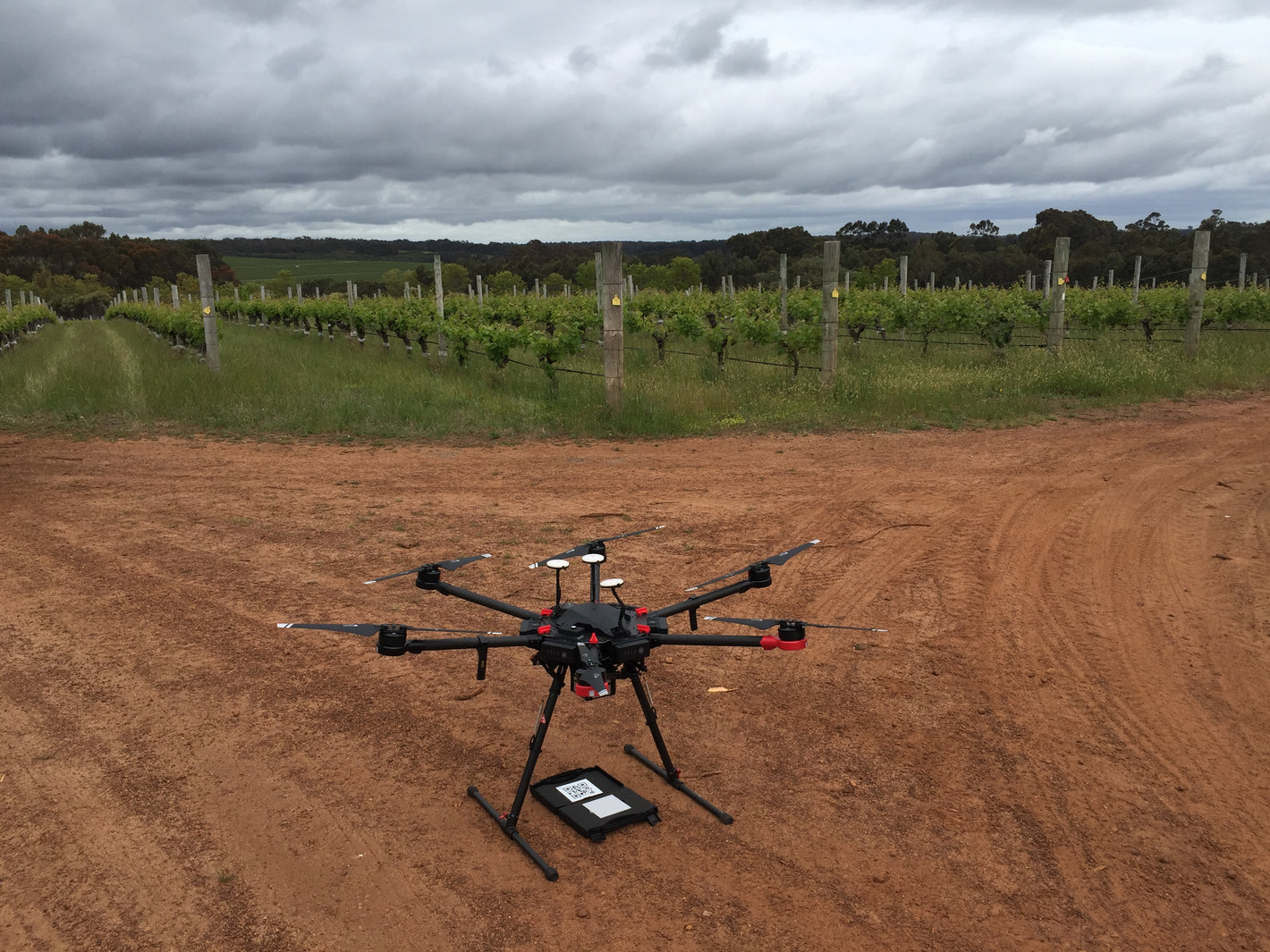
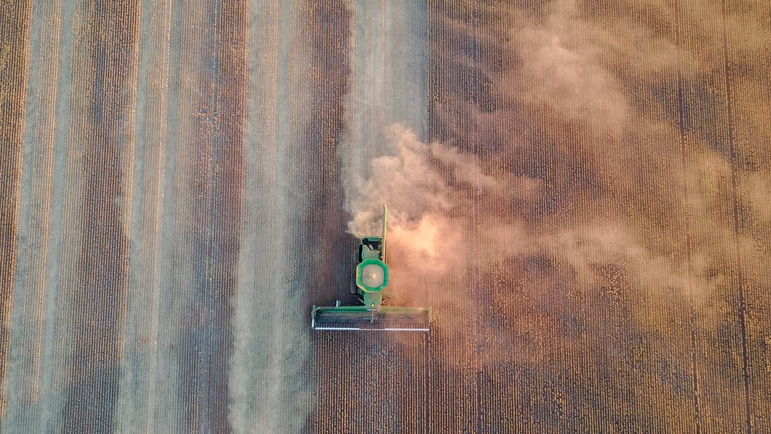
Aerial Capture & Targeted Application
Explore vineyard & aerialGo from high-resolution scouting to precision field execution seamlessly. Utilizing advanced fixed-wing aircraft and RPAS (drones), we deliver survey-grade imagery, orthomosaic processing, and NDVI mapping. We don't just hand over data—we turn it into variable-rate prescriptions for aerial spraying and seeding, backed by full team training so your crew can operationalise outputs directly in the shed and tractor cab


